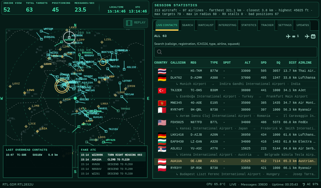
SHARE THE SKY
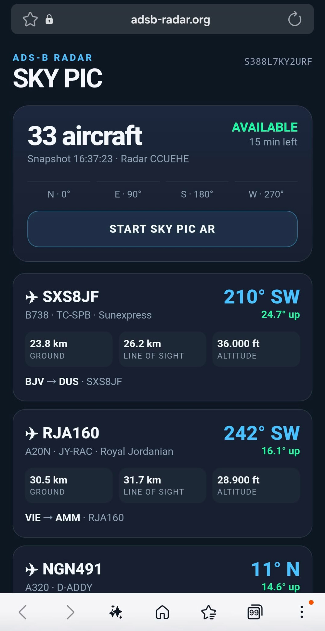
SKY PIC: a snapshot of your local sky.
Show other aviation enthusiasts which aircraft your own receiver was detecting at a particular moment.
Capture a moment — or keep watching
SKY PIC creates a temporary snapshot of the aircraft currently known to your radar. The generated link can be opened on a phone using a QR code. Choose a one-time snapshot or enable Permanent SKY PIC, which refreshes the receiver data every three minutes so you can keep an eye on nearby aircraft.
What the snapshot can contain
Where available, the snapshot includes aircraft identification, position, altitude, speed, heading and enriched aircraft information such as registration, type and operator. Fields depend on the received messages and available reference data.
Temporary snapshots and permanent SKY PIC
One-time snapshot links expire after a limited period. With Permanent SKY PIC enabled, the shared view refreshes automatically every three minutes, making it useful for ongoing aircraft spotting. SKY PIC is optional; your radar continues to operate locally.
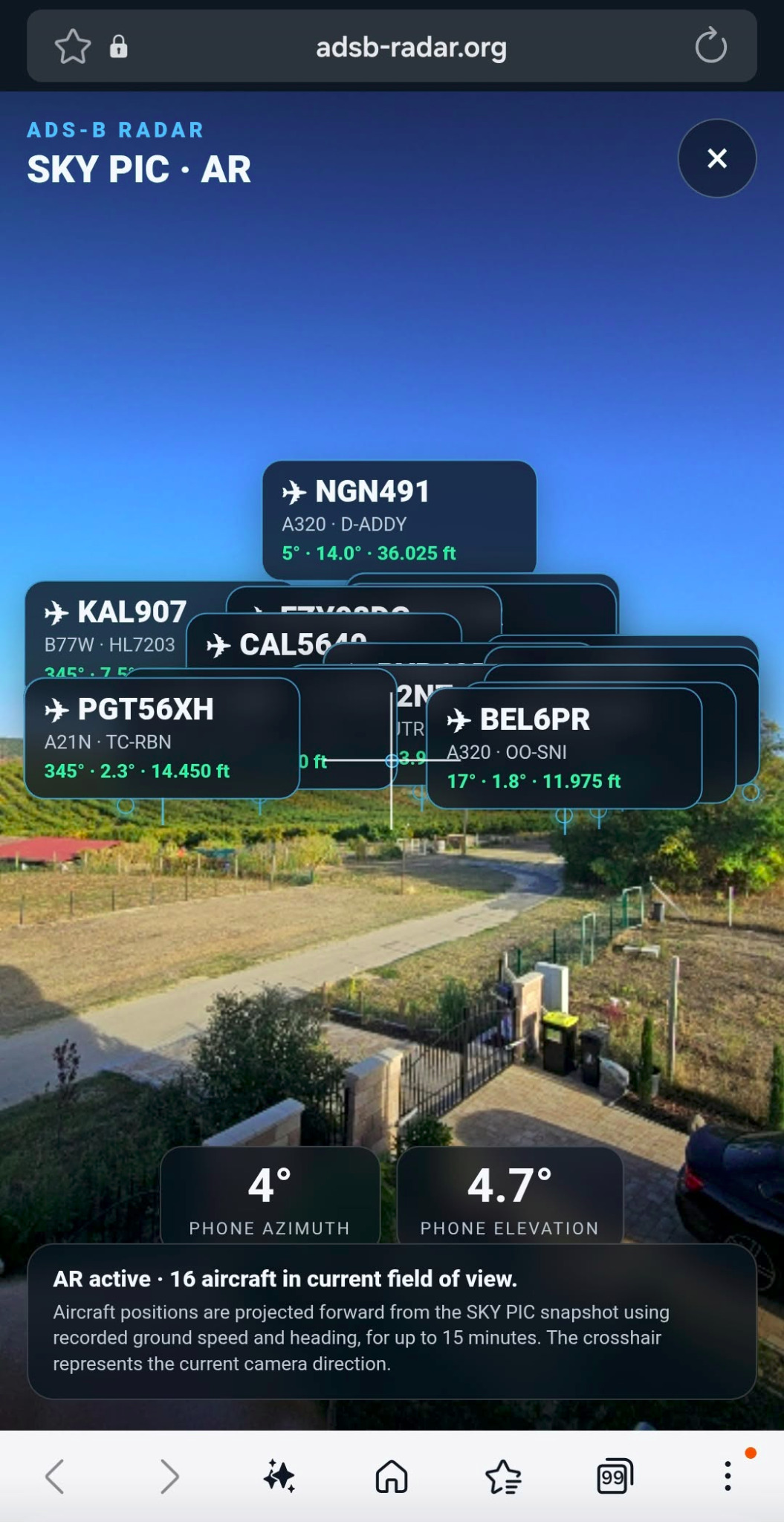
SKY PIC on your phone
See a real receiver snapshot on your smartphone, then switch to the augmented-reality view to explore aircraft in the direction you point your camera. In snapshot mode, aircraft positions can be projected forward for up to 15 minutes using recorded heading and ground speed; these are estimates. In Permanent SKY PIC mode, fresh receiver data is provided every three minutes — not a continuous real-time feed.